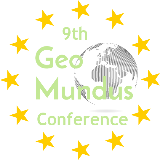
What is GeoMundus?
GeoMundus is a free international symposium organised by the students from the Erasmus Mundus Master's of Science in Geospatial Technologies. The symposium features broad aspects of geospatial technologies disciplines, including but not limited to, geographic information systems and science, environmental studies and management, urban planning and many more. The focus of this year’s GeoMundus is the emerging technologies within these fields and our programme highlights the cutting edge research that pushes the boundaries of geospatial analysis.
Why GeoMundus?
It is an opportunity to learn and share scientific research, knowledge and skills with other peers in all things ‘Geo’. The emerging technologies featured in GeoMundus 2017 also presents an opportunity to learn about them and their applications in our everyday lives. GeoMundus is unique as it features workshops where participants can experience first-hand the future of geospatial technologies as well as a career session specially designed for students interested in a geospatial career.
Who should participate in GeoMundus 2017?
Everyone who is curious about geospatial technologies and its applications. We especially welcome students, researchers, industry players, and even members of the public. It is not only a great opportunity to learn, but also to network amongst the brightest minds in this exciting field.
Registration is free so sign up now!
.jpg)
.jpg)
.jpg)
.jpg)
.jpg)
.jpg)
.jpg)
.jpg)

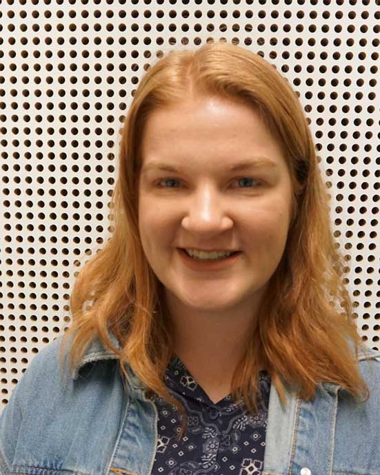 Caitlin Thorn
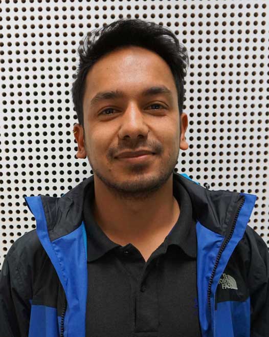 Mahesh Thapa
 Nikolina Nisic
 Bikesh Twanabasu
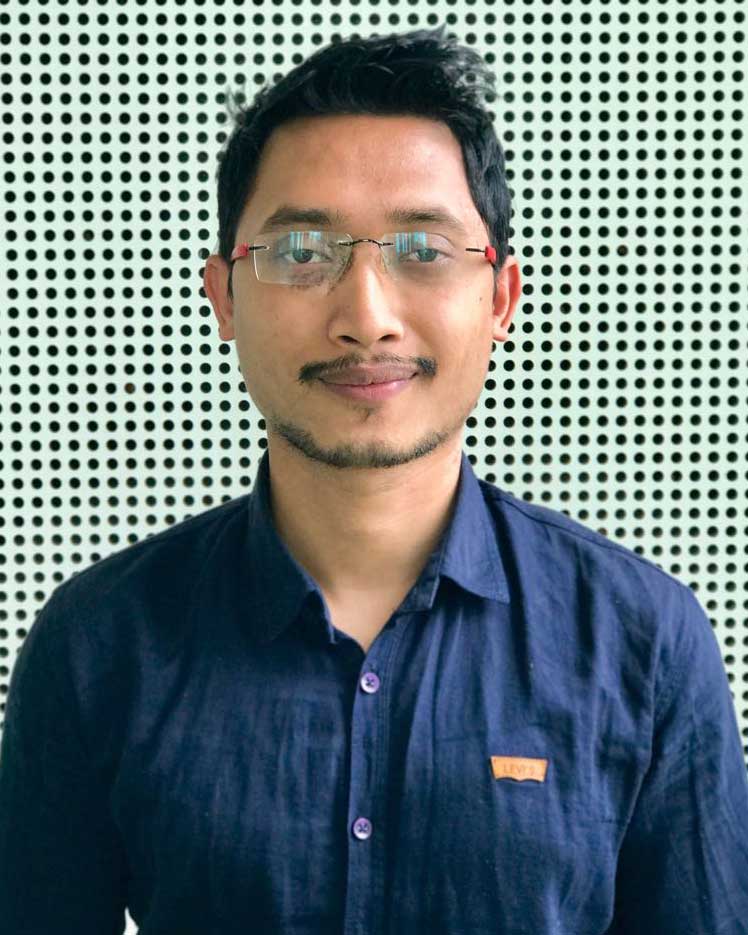
 Ditsuhi Iskandaryan
 Leon Gaw
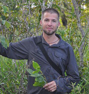
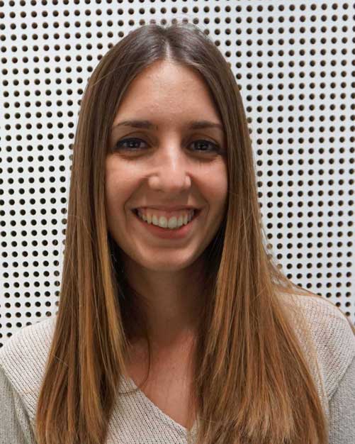 Raquel Martin-Pozuelo Ojalbo
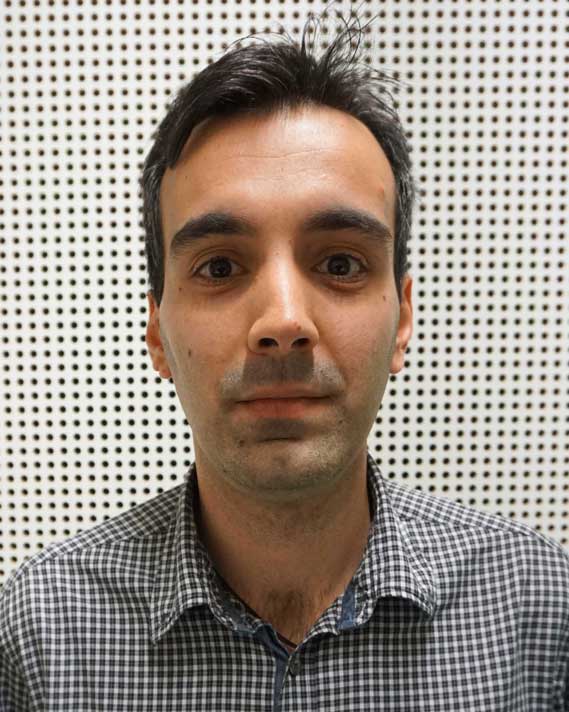 Stravros Sakellariou
 Pravesh Yogol
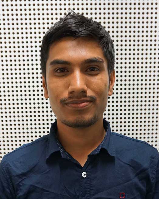 Sanjeevan Shrestha
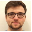
 Marc Frederic Schröder
 Pedro Penedos
 Chaplin Williams
 Gebru Welay
 Anthony Twesigye
  Mulu Weldegebreal
 Daria Lüdtke
 Sarah Abdelkader
 Caio Mascarenhas
 Lisa Fischell
 Yevgeniya Litvinova
 Muhammad Pramujati