
Geospatial Intelligence
for Disaster Resilience.
From Data to Action: Mapping Risk, Strengthening Response, and Building Safer Communities
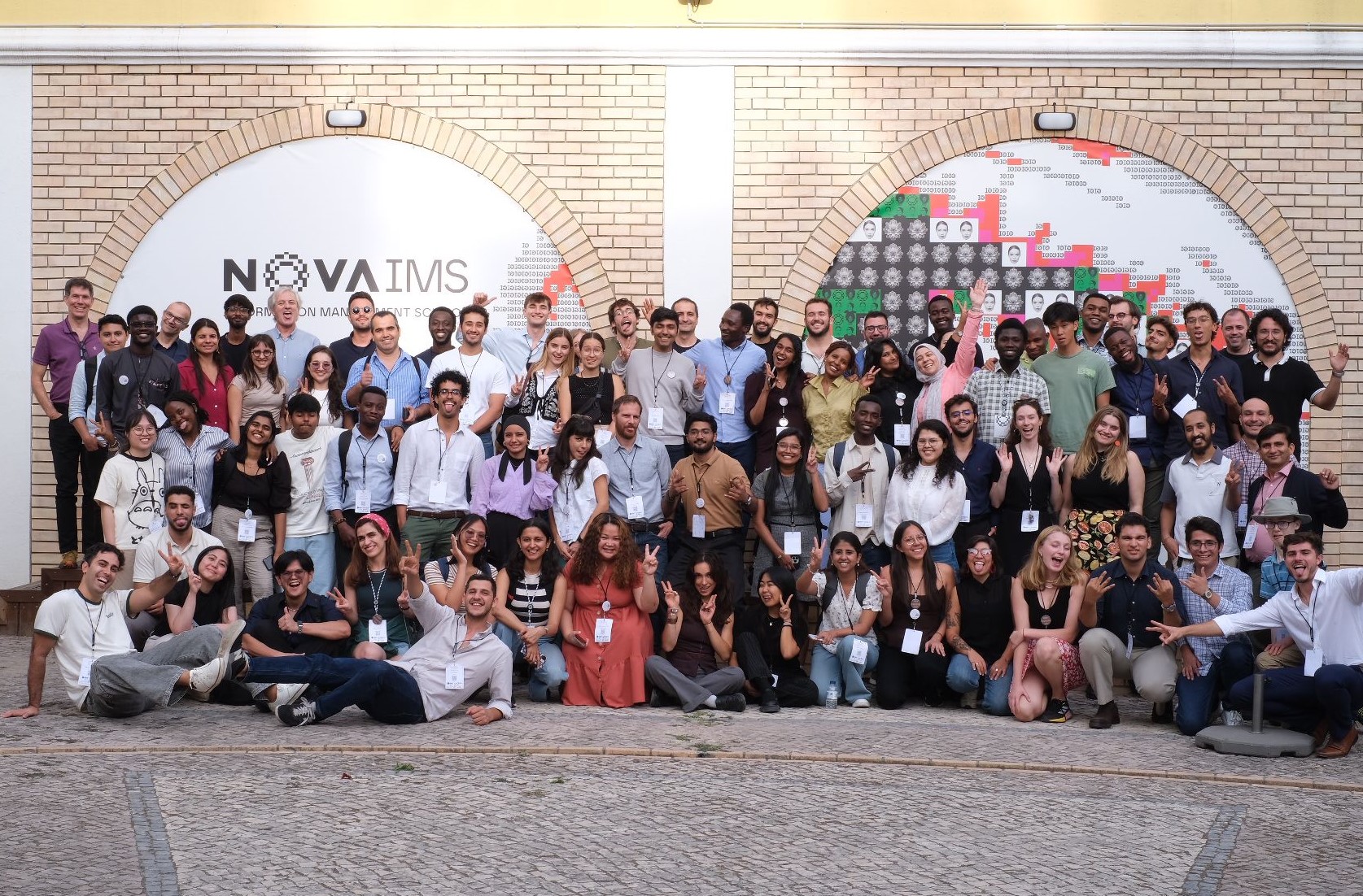
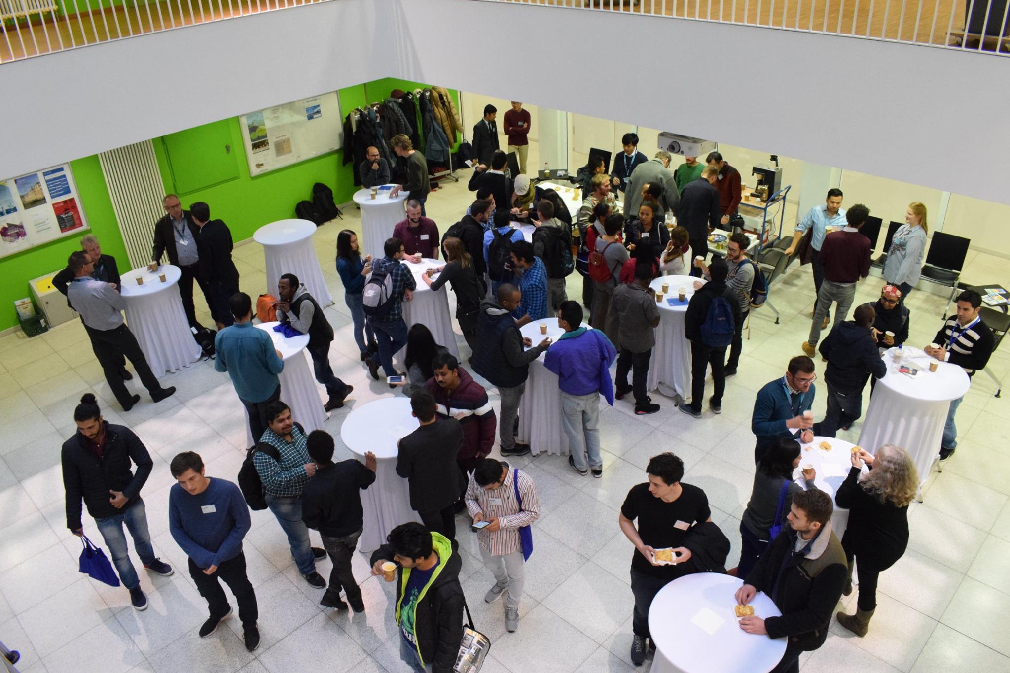
Previous edition highlights
100+
Participants
4
Keynote speakers
3
Workshops
About
Geospatialscience,shapedbystudents
GeoMundus is a free international conference organized by students of the Erasmus Mundus Master in Geospatial Technologies. Since 2009, it has united researchers, practitioners, and students from across the globe.
The 18th edition comes to Castellón de la Plana, hosted by Universitat Jaume I.
Theme
GeospatialIntelligenceforDisasterResilience
From prevention to reconstruction - geospatial tools at every stage of disaster management.
Disaster Categories
- Natural Hazards - caused by natural processes
- Anthropogenic Hazards - caused by human activities
- Socionatural Hazards - caused by the combination of natural and anthropogenic factors
- Geological - earthquakes, volcanic activity, landslides, rockslides, surface collapses, debris or mud flows
- Hydrometeorological - floods, droughts, heatwaves, hurricanes/typhoons/cyclones
- Biological - pandemics, epidemics
- Technological - industrial pollution, nuclear radiation, toxic wastes, dam failures, transport accidents, factory explosions, fires and chemical spills
- Environmental - soil degradation, deforestation, loss of biodiversity, sea-level rise, air/water/soil pollution
GeoMundus 2026
Hazard Intelligence & Risk Modeling
SAR satellites, AI/ML hazard prediction, LiDAR for terrain analysis, Data fusion
Early Warning & Preparedness Systems
IoT sensor networks, Mobile GIS apps, Multi-hazard alert platforms, AI hazard forecasting
Emergency Response & Humanitarian Logistics
High-resolution satellite imagery for situational awareness, UAVs for rapid damage assessment, GIS for resources allocation, Crowdsourced VGI, Accessibility analysis
Recovery & Resilient Reconstruction
Change detection AI for damage assessment, Digital Twins simulation, Participatory GIS for community engagement, Spatial planning tools
Programme
Conference Schedule
Welcome Meetup
Speakers
Meetourspeakers
Keynote Speakers
Tuomo Kauranne
Applied Mathematician
ARBONAUT
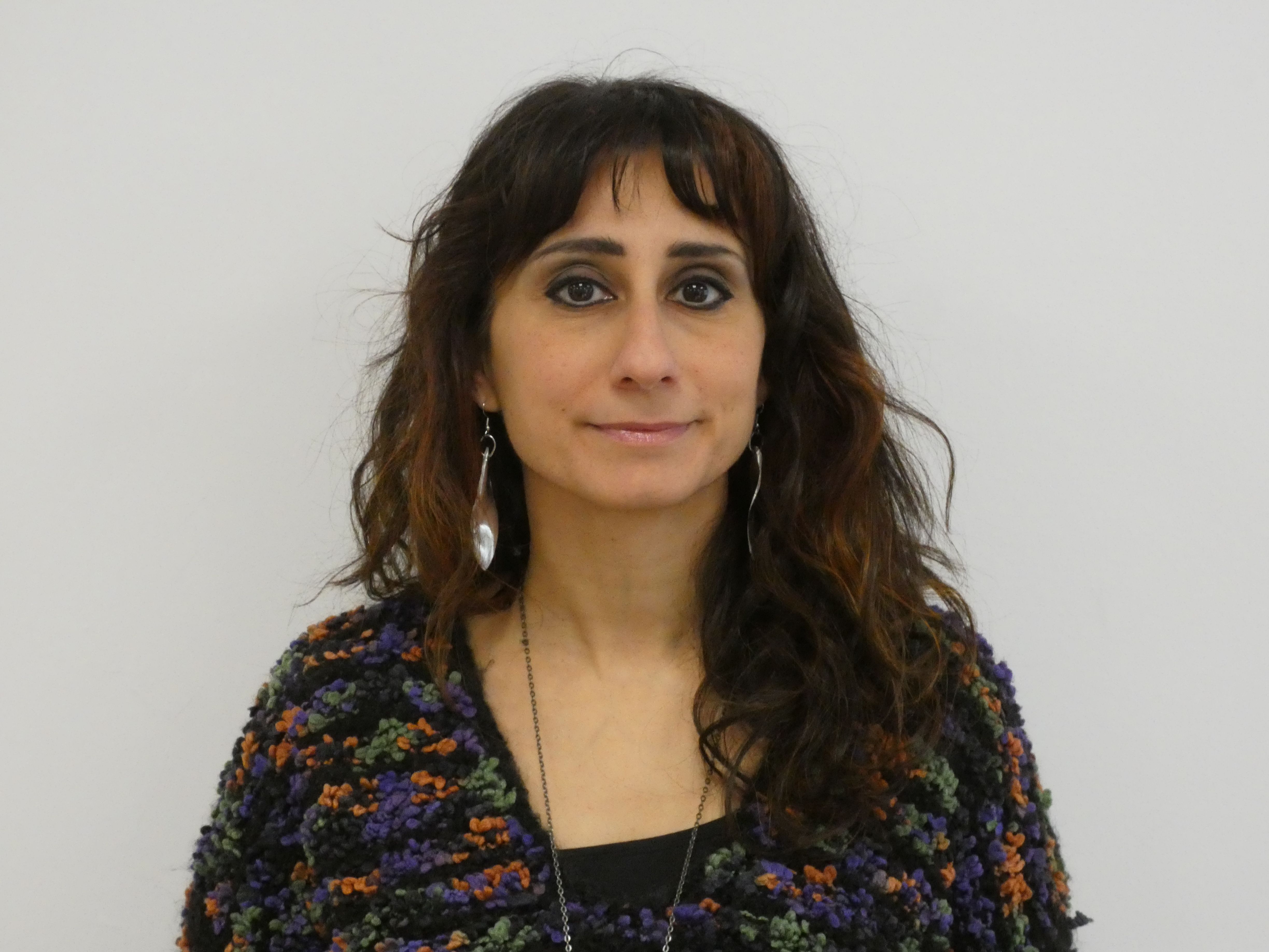
Mariangela Noviello
Remote Sensing and Geophysics Specialist, PhD
United Nations
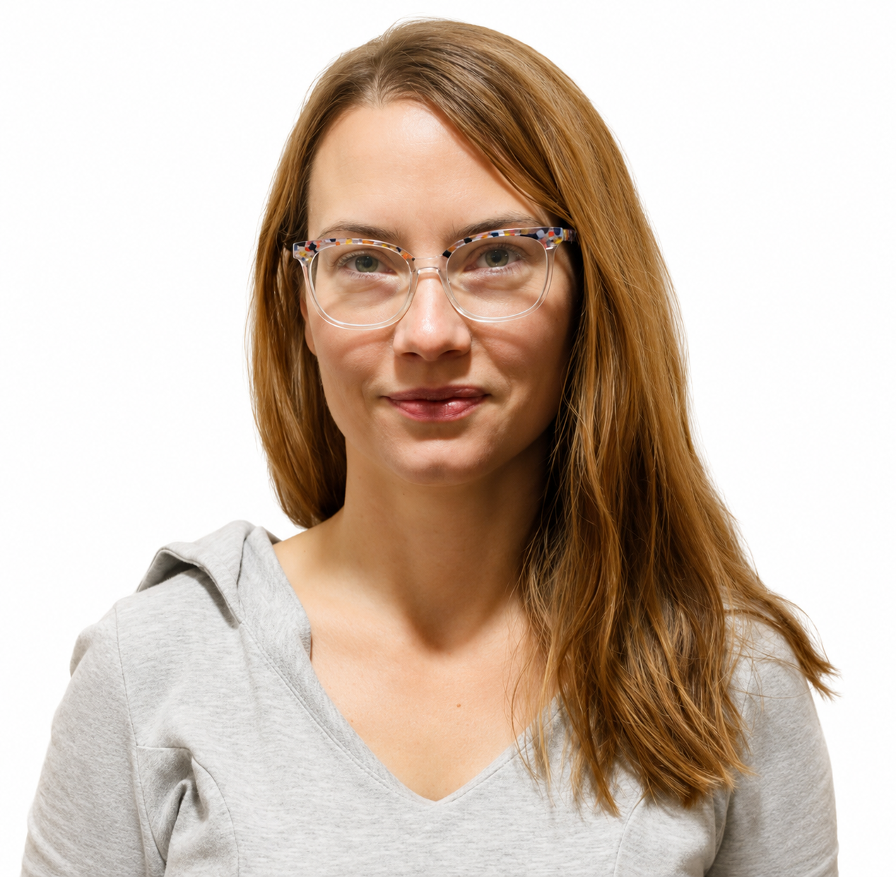
Maria Gorzynska
Geospatial Expert
TRACASA
Panel Speakers

Emmanuel Jolaiya
Geospatial Data Engineer; Founder of Spatialnode
United Nations Global Service Centre; Spatialnode
Somnath Chaudhuri
Researcher
WorldPop Research Group at University of Southampton, UK
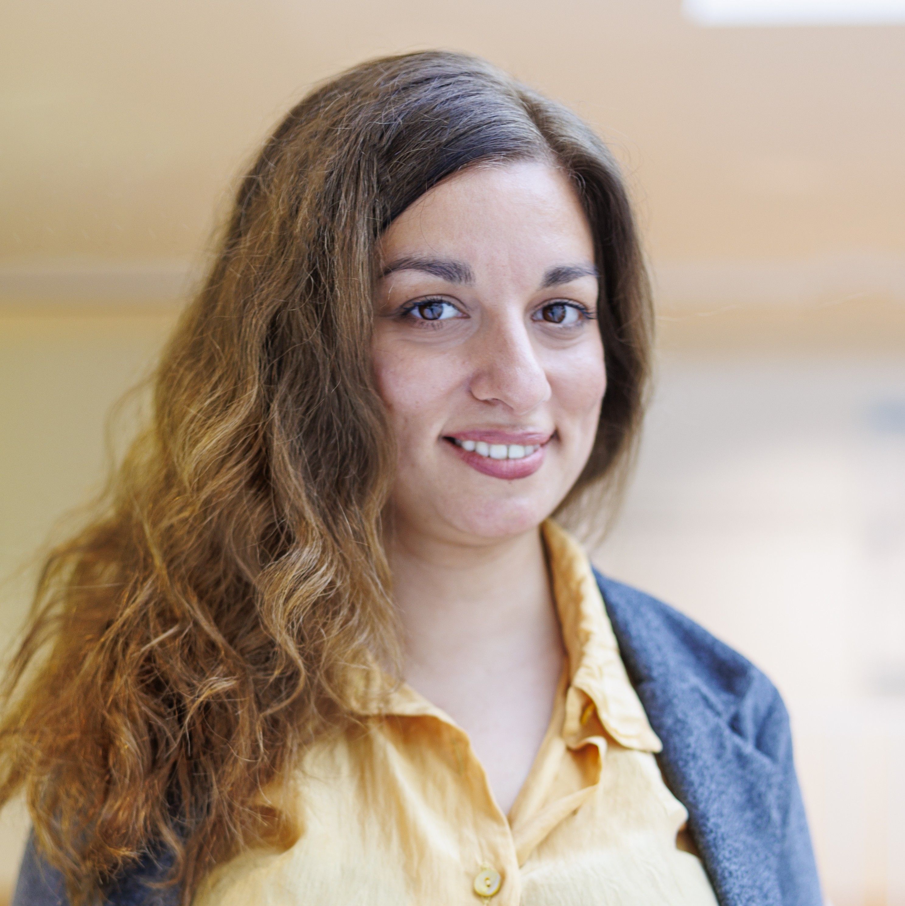
Eftychia Koukouraki
Researcher
University of Μünster
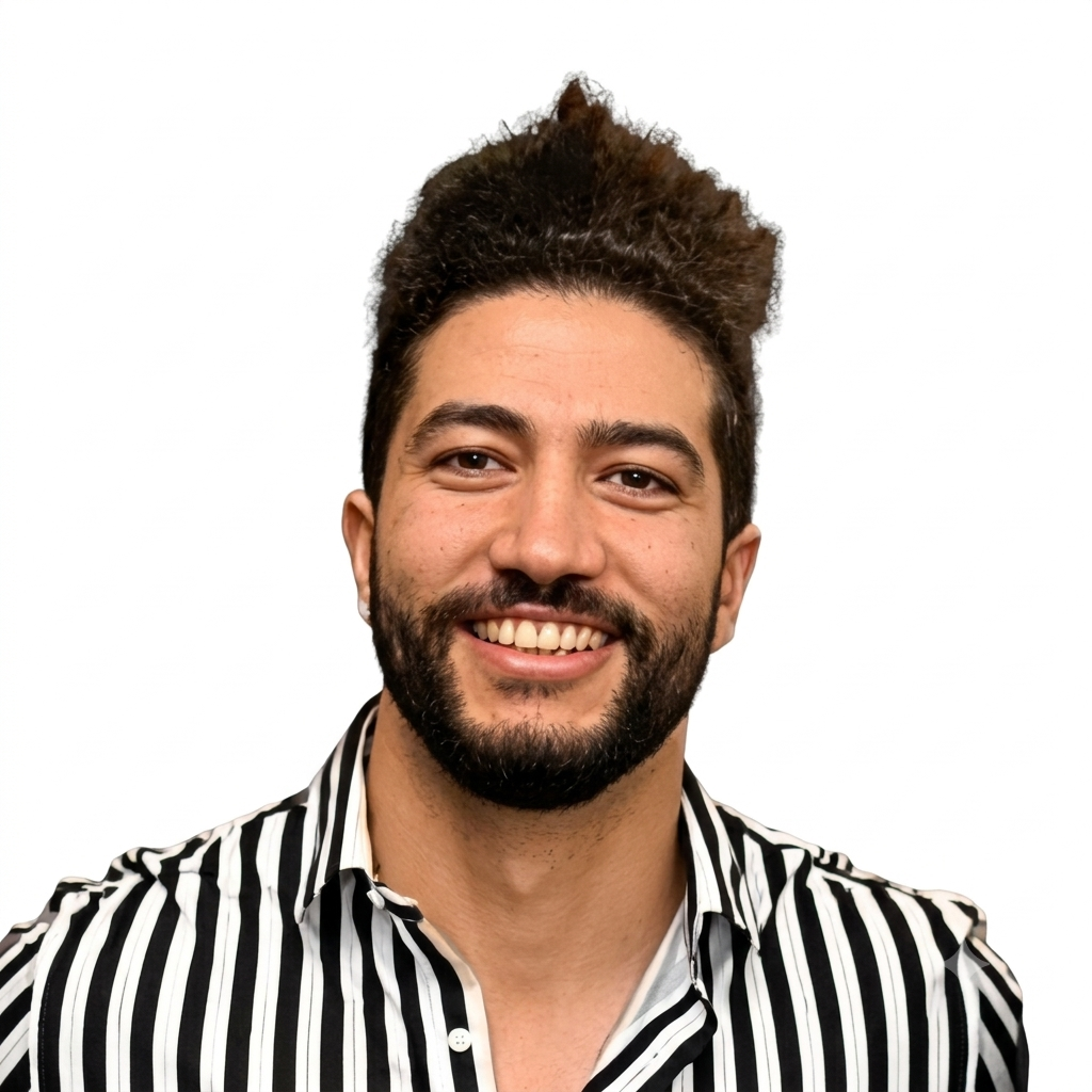
Alaa Bakry Abdelfattah
Software Architect
con terra
Workshop Leaders
Workshop
Disaster Mapping with OpenStreetMap (OSM)
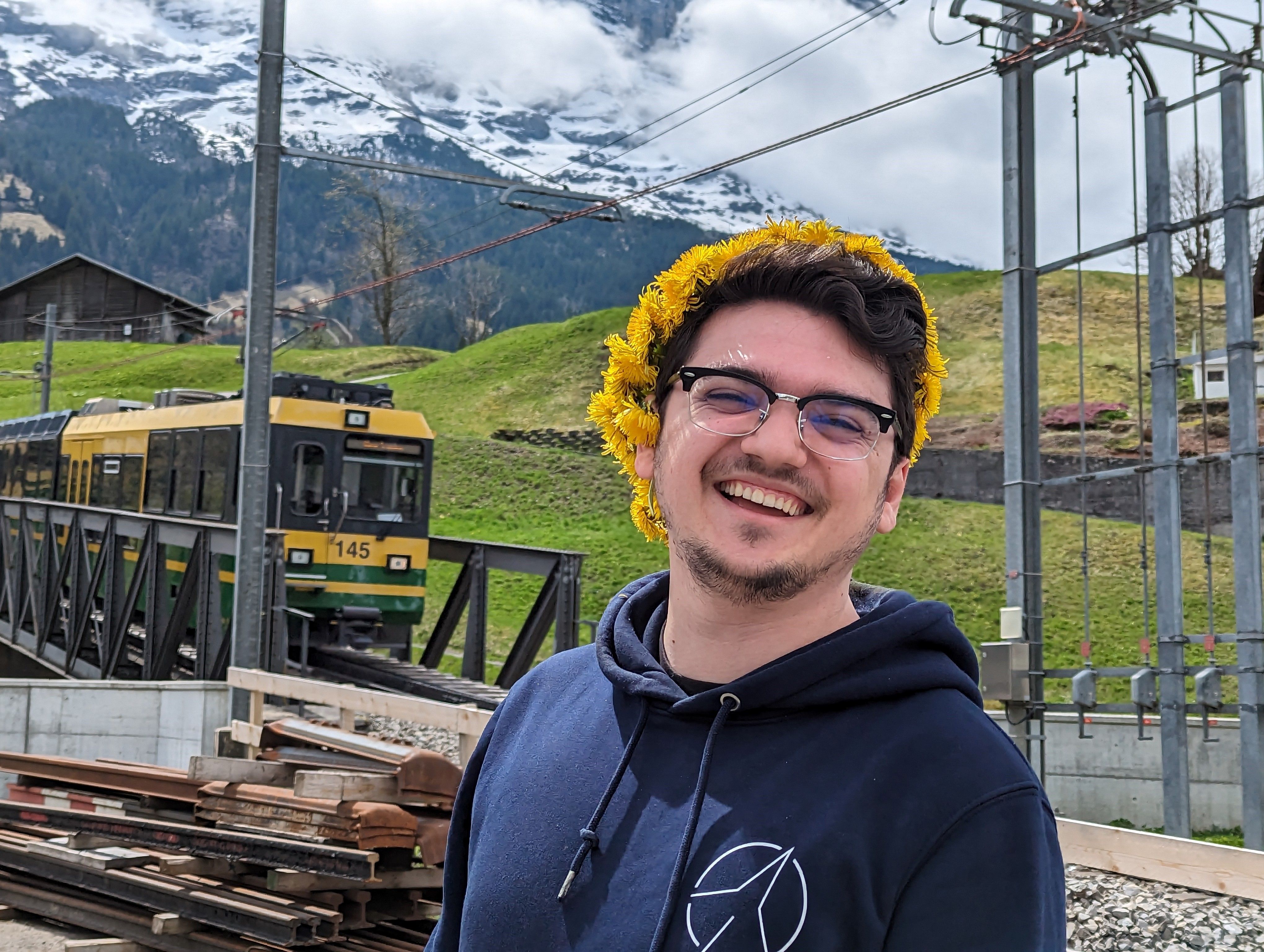
Hector Ochoa Ortiz
OpenStreetMap
Workshop
Flood Mapping from Satellite Imagery with ML4Floods
Enrique Portalés-Julià
University of Valencia (UV)
Workshop
Sensors and IoT for Disaster Resilience with senseBox
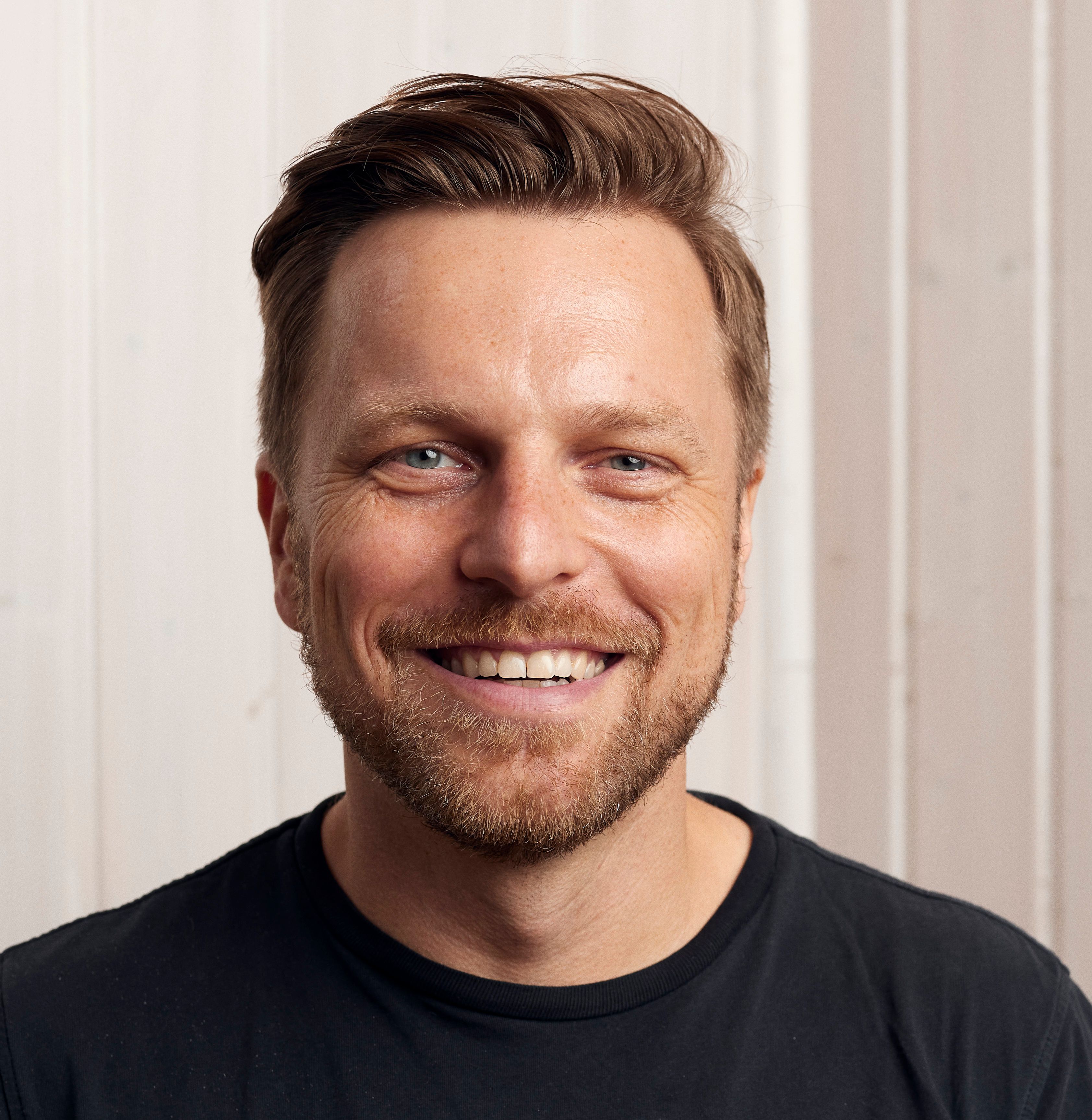
Thomas Bartoschek
University of Münster
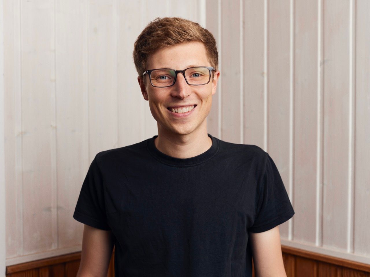
Mario Pesch
University of Münster
Workshop
Wildfire Risk Mapping and Fire Spread Modelling with Open Earth Observation Data
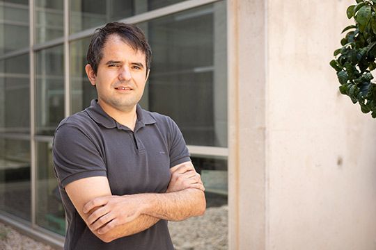
Dr. Sergio Trilles
Associate Professor
Universitat Jaume I (UJI)
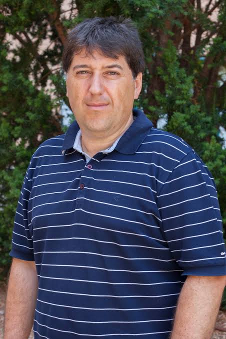
Dr. Pablo Juan Verdoy
Associate Professor
Universitat Jaume I (UJI)
Dr. Somnath Chaudhuri
spatial statistician and data scientist
University of Southampton, UK
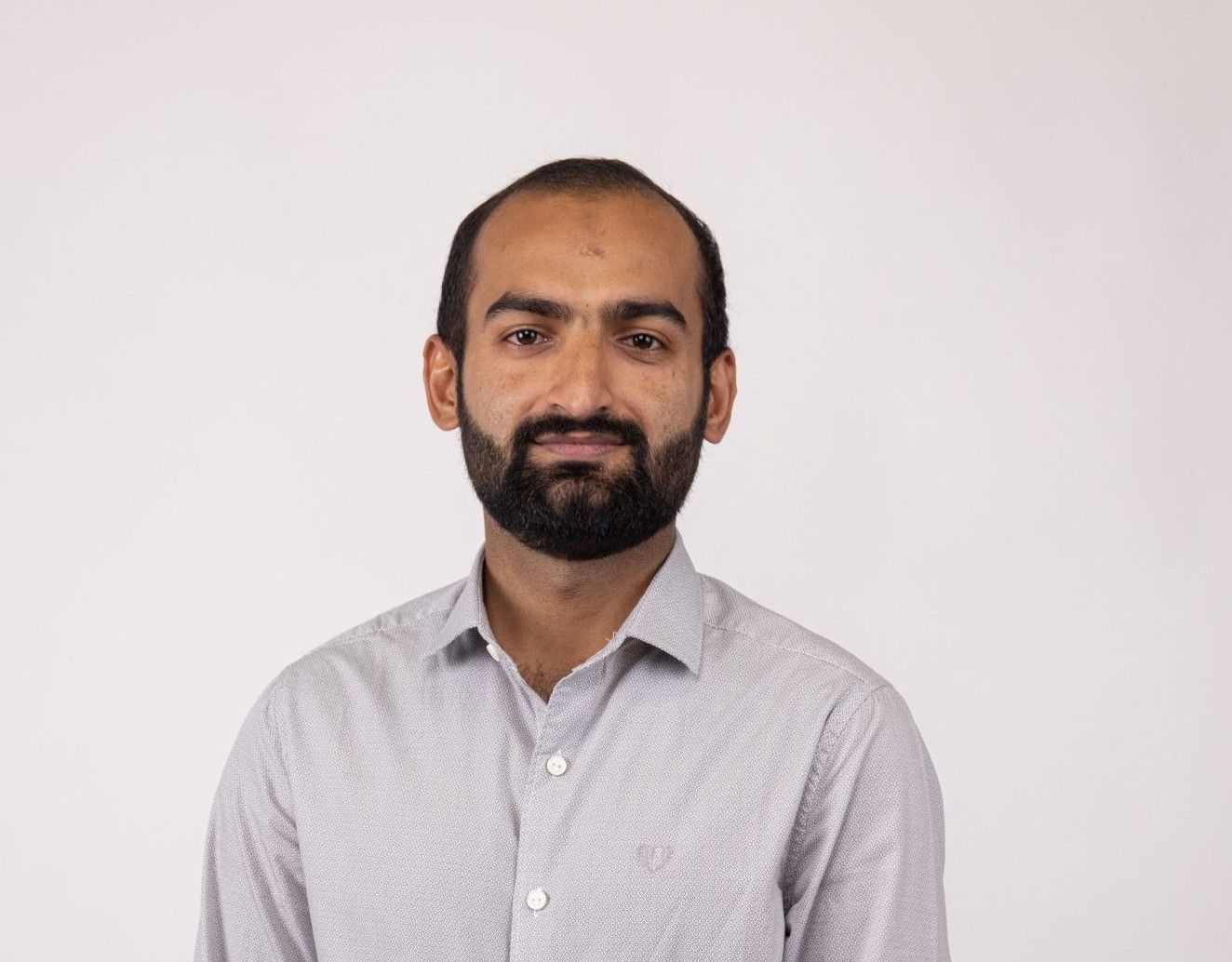
Sahibzada Saadoon Hammad
Geo-informatics engineer
Timeline
Key dates
All dates subject to confirmation.
01
Call for abstracts
Submit your abstract for oral or poster presentation
Open now
02
Submission deadline
Final day to submit abstracts for consideration
August 15, 2026
03
Registration opens
Secure your spot at GeoMundus 2026
Open now
04
Conference days
Talks, workshops, and networking
October 16-17, 2026
Sponsors
Sponsors & partners
GeoMundus is seeking partners from public and private entities including spatial, technological, scientific, and academic fields.
Interested in sponsoring? budget@geomundus.org
Supported by


Partners
Venue
Universitat Jaume I
Castellón de la Plana, Spain
One of three host universities of the Erasmus Mundus Master in Geospatial Technologies, alongside NOVA IMS in Lisbon and WWU Münster in Germany.
Explore the campus digital twin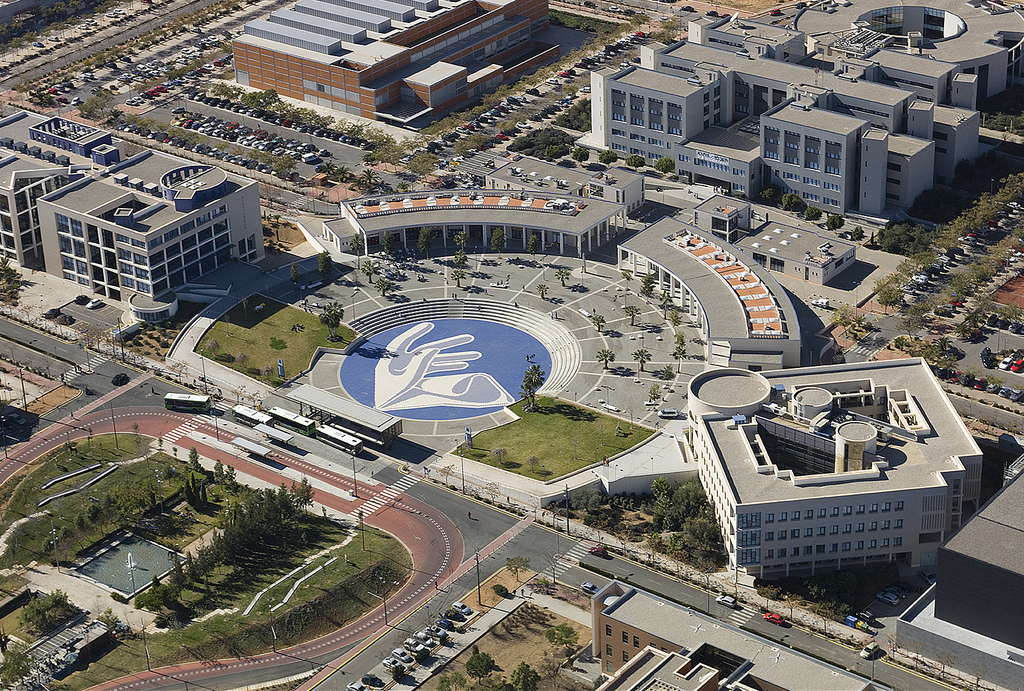
Universitat Jaume I
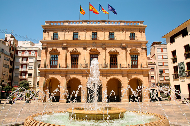
Plaza Mayor, Castellón de la Plana
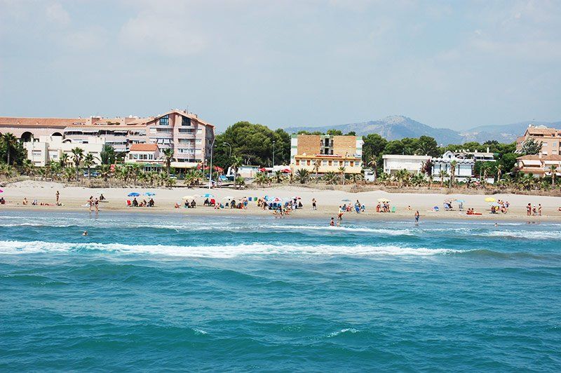
Grao de Castellón
Archive
Past conferences
GeoMundus has a rich history of bringing together students, researchers, and professionals since 2009.
Explore past editions